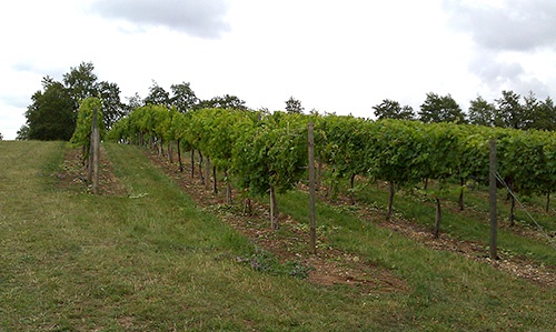
Precision Viticulture is now a very well-developed approach to vineyard monitoring, mapping and management, and one that has been successfully demonstrated through many studies and practical applications leading to greatly improved efficiency and effectiveness in the day-to-day operation of the vineyard and, ultimately, improved fruit quantity, quality and wine production. This has been particularly true for the larger commercial vineyards with both the financial resources to utilise such technologies and operating over relatively large areas of grapevines.
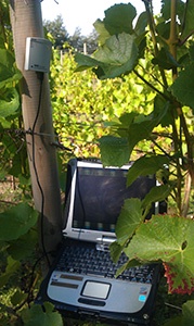
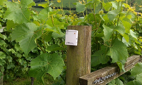
This webpage and the links provide an overview of the role of some of the geospatial technologies such as GIS, remote sensing, cartography and digital mapping, mobile GIS, and Internet mapping in Precision Viticulture (PV).
Research at the University of Aberdeen
Click Here to find out more about research undertaken and the University of Aberdeen.
Contact Details:
Dr. David R. Green
Department of Geography and Environment
School of Geosciences
University of Aberdeen
St. Mary's Building
Elphinstone Road
Aberdeen
AB24 3UF
Tel: +44(0) 1224 272324
Email: d.r.green@abdn.ac.uk