Our undergraduate students cover a wide range of topics from Human Geography to Physical Geography. Here you can find some examples of recently completed undergraduate dissertations.
Human Geography dissertation examples
- Mapping literary historic descriptions of Loch Lomond
-
Georgina Ogg
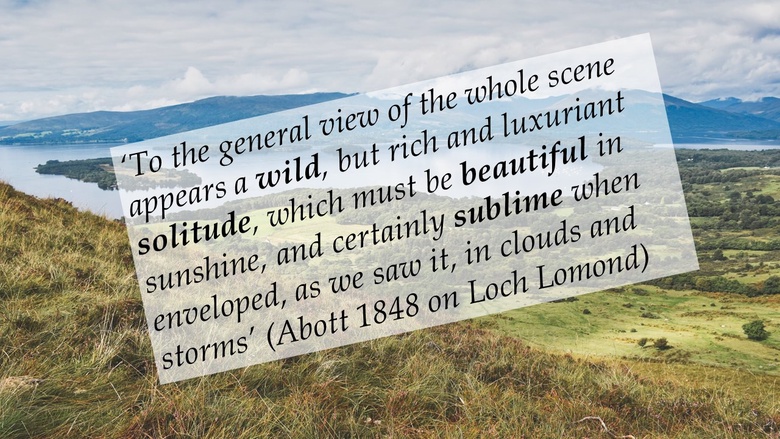
Supervised by: Dr. Flurina Wartmann
- Sense of place and changing use of public green spaces in Dundee
-
 My dissertation focussed upon the impact of Covid-19 on sense of place and the usage of outdoor spaces throughout the city of Dundee.Experiencing numerous lockdowns throughout Covid-19 restrained us to our homes with little to no freedom. Spending time outside and interacting with natural outdoor spaces was one of the only means of recreation. Pre-existing research showed that the use of outdoor spaces during lockdown rose significantly for the vast majority but for some, it lessened. Research, however, focused on worldwide scales and on larger cities. I opted for Dundee, a smaller scale study area, to investigate not only how Covid-19 impacted the way local people used and interacted with spaces and places but how the pandemic influenced their sense of place and relationships with outdoor areas.I conducted primary research, with the publication of an online survey and carrying out virtual interviews. A mixed methods approach allowed me to gather wide ranging responses but also focus on narrow in-depth attitudes and opinions. Qualitatively analysing responses significantly enhanced my research and data processing skills. My dissertation findings were truly insightful and such variation and diversity in responses highlighted how closely tied, Covid-19, a global pandemic, was to geographical aspects, of sense and usage of spaces. The true range of positive and negative experiences, feelings and experiences emphasises the extent of how feelings of sense of place and usage of space can truly vary per individual.Supervised by: Dr. Flurina Wartmann
 - Social conflicts about ecological restoration of agricultural lands in Scotland
-
Simone Arvid
What was your dissertation about?
My dissertation was investigating the sustainability of ecologically restoring The Dunvegan Estate and The Kinrara Estate in Scotland using a qualitative mixed-method approach. It explored how local context and levels of engagement within planning processes are shaping different stakeholder and local community perceptions. The findings highlighted how complex issues of scale, social constructions and political-historical structures impacts the perceptions and general sustainability of the projects. It also illustrated that potential barriers to inclusive processes included revenues associated with woodland restoration, a disconnection with localism and the impacts of COVID-19.
What skills did you develop (further) during your dissertation research?
Due to the impacts of COVID-19, I had no prior practical experience with conducting research. Furthermore, we were initially restricted to conducting research using online methods, which led me to choose a qualitative mixed methods approach (e.g. surveys and interviews). However, I struggled to collect sufficient data due to the remoteness of both projects and a bias in the design of my survey. It pushed me to re-adjust the design of my methodology, which included in-person fieldwork in October/November as the COVID-19 guidelines changed. Ultimately, the process developed my research skills, creativity and resilience, as I managed to gather substantial data after experiencing significant setbacks.
What was the highlight of your dissertation work?
Conducting fieldwork in-person and getting the opportunity to connect with the local stakeholders on a personal level was a very rewarding and inspiring experience. It allowed me to explore the local culture and project sites, which enhanced my understanding of the place-based contexts and issues. Contributing new knowledge to a contemporary academic and political debate also ensured that the dissertation process was engaging throughout and felt very meaningful to complete.
Supervised by: Dr. Paula Duffy
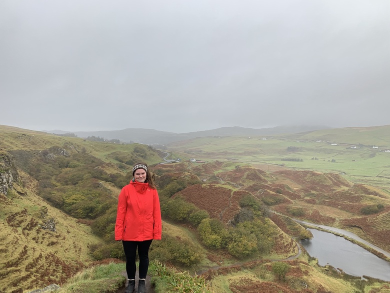
- Land reform and sustainable development in the Western Isles of Scotland
-
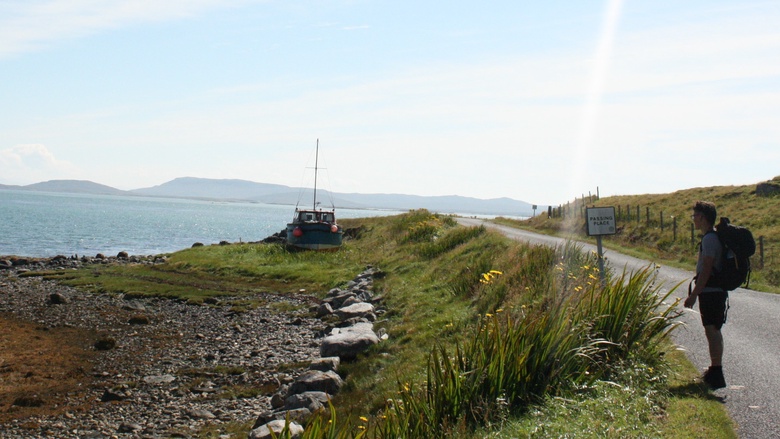
What was your dissertation about? My dissertation was undertaken to study the contribution of land reform to sustainable development in the Western Isles of Scotland. This was conducted in collaboration with the James Hutton Institute and compared survey data from the National Islands Plan across the different Scottish Island regions; as well as my own interviews in Na h-Eileanan Siar. In an attempt to gauge the strengths and weaknesses of the Community Land Organisations (Community Land Trusts) in the region. The findings were incorporated to provide policy recommendations related to land reform which were presented to representatives of the Scottish Government and Islands Team.
What skills did you develop (further) during your dissertation research? I developed my research skills, both in quantitative and qualitative analysis; and also increased my knowledge in a key area of interest for me; and an area of great importance for policy makers and land managers in Scotland.
What was the highlight of your dissertation work? I think the real highlight for me was getting to see the benefit of my work to the government and interacting with many important stakeholders in this area. It was also really amazing to study an area such as Na h-Eileanan Siar in depth. The culture, the people and their relationship with the land is really inspiring and is something which I think we all could learn from.
Supervised by Dr. Lorna Philip
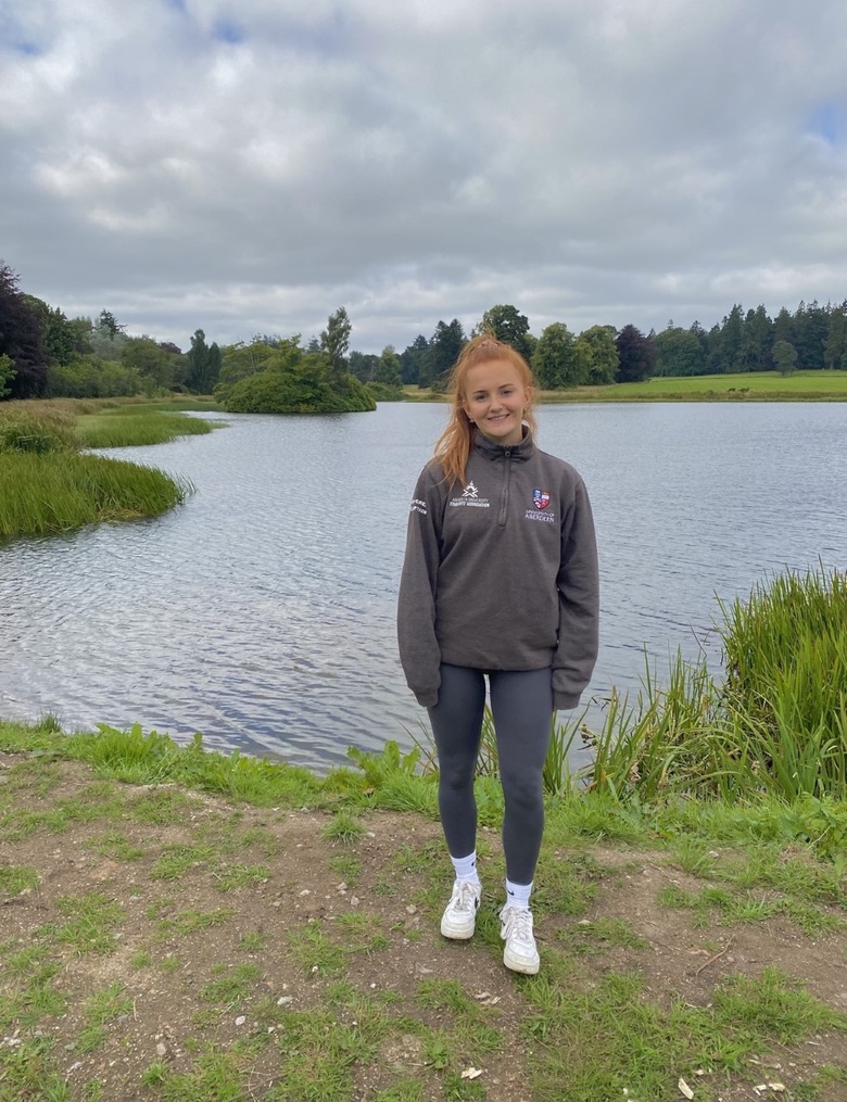
- Urban green space use in Aberdeen during the pandemic
-
I chose to focus my dissertation on the role of urban green spaces in Aberdeen during the ongoing pandemic.
During the first lockdown it was clear to see that people being confined to their own homes led them to seek any opportunity to get outdoors so as to improve their physical and mental well-being. This was supported by Google's 2020 mobility data report which highlighted Aberdeen City as an example of a place showing a particularly large increase in park visitors during this period. I wanted to find out more about why people were deciding to visit green spaces or conversely maybe why there were now less inclined.
Access was a key aspect I focused on to identify the distribution of green spaces across Aberdeen city and find pockets that access could be improved for residents. I created online questionnaires to gather first hand responses of how people had been using green spaces and how maybe that had changed over the past year. The outcome of my dissertation made it clear to see how valuable these green spaces were to residents during the pandemic but also the new challenges which had arisen.
Supervised by Dr. Flurina Wartmann
Physical Geography dissertation examples
- Mapping groundwater vulnerability to pesticide contamination
-
Emma Simpson
What was your dissertation about?
My dissertation mapped the groundwater vulnerability to the contamination through pesticides in the Ythan catchment. The river Ythan has a significant amount of baseflow which indicates a strong correlation between the groundwater and the river flow and is under a lot of agricultural pressure. Agriculture is the main identified reason for high pesticide values in the water which led to the area becoming a Nitrate vulnerability zone. Through creating two different models I visualised the most vulnerable zones of the catchment and with that data created a risk map for crops. This shows the areas that have intensive crops farming and are also vulnerable to groundwater pollution. Mapping two models allowed to show the distinctions when emphasising different parameters.
What skills did you develop (further) during your dissertation research?
Throughout my research I developed skills in building hydrological models using ArcGIS as well as improved my data management skills. Especially from the data management I learned a lot for future research as I had to create 5 to 7 GIS layers per model and often further layers throughout the process. Another important learning was to extract the important information from the less important and to make choices for my final data set.
What was the highlight of your dissertation work?
The highlight of my work was seeing the final maps and understanding the differences in the models. But also realising how abstract they are but then through creating risk maps can become relevant for stakeholders.
Supervised by Dr. JC Comte
- Modelling the effects of forests on reducing floods in Scotland
-
Fingal Summers
What was your dissertation about?
My dissertation used modelling to analyse the effect of forestation on reducing river flood peaks in a Scottish upland catchment area. The catchment in questions was the Linne nam Beathach river catchment, Argyll. I created the model using a commonly implemented hydrological modelling software called SWAT (Soil and Water Assessment Tool), using a wide assortment of input data including measured discharge measurements, weather statistics, as well as soil and land use maps. After calibration and validation occurred, I used ArcGIS to manually update the land use map to extend forest boundaries to several different areas. Results showed that increasing forests on this catchment would decrease flood peak scenarios by a small margin.
What skills did you develop (further) during your dissertation research?
I developed my skills in hydrological modelling, and in finding data sources for model creation. Furthermore, I had to get used to using a variety of new software and techniques, including the model software itself, and SWAT-CUP, which I used for the crucial step of calibration. More generally I increased my ability in finding creative solutions to difficult problems, and I further developed my Excel skills, such as using keyboard shortcuts to speed up handling of large amounts of data.
What was the highlight of your dissertation work?
The highlight for me was seeing the calibrated model run for the first time and getting results. It had taken a lot of work to get to this point so it was a moment of great satisfaction. Another aspect I enjoyed was the analysis of the final simulated data, and using statistical techniques to compare it with original scenario of forest cover.
Supervised by Dr. David Haro Monteagudo
- Mapping patterns of tree spreading in the British Isles during the early Holocene
-
What was your dissertation about? My dissertation used data extracted from pollen diagrams to map patterns of tree spreading in the British Isles during the early Holocene. I created a series of isochrone maps – showing the direction and timing of species dispersal – using ArcGIS. This built upon research first conducted in the late 1980s (with hand-drawn maps), almost doubling the number of data points. Significant changes in patterns were observed in some instances, with the research ultimately adding to our body of knowledge regarding species distributions, rates of spread, and response to controlling factors such as climate and topography.
What skills did you develop (further) during your dissertation research? I learnt a number of new techniques, particularly how to use GIS software, and improved my statistical analysis skills and my ability to think critically when analysing data outputs. I also improved my ability to quickly find and filter potential data sources. In terms of personal development, working during the COVID lockdown helped me hone my time management skills, notably creating and keeping to my own deadlines whilst also remembering to take regular breaks.
What was the highlight of your dissertation work? Finding new and undiscovered patterns of tree spread, and being able to explore the possible causes for this. Completing my dissertation was a rewarding experience as I felt that I had contributed new knowledge to my subject field.
Supervised by Dr. J. Edward Schofield